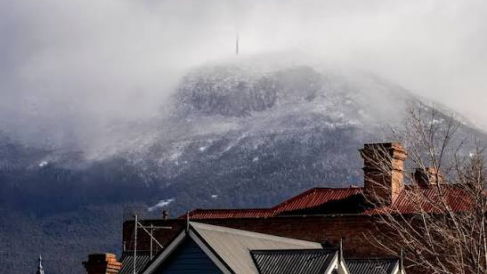
A powerful high‑pressure system has settled over Tasmania with unusual force, creating abnormally elevated surface pressure readings as cold winter air continues to pool beneath a stalled atmospheric dome. Meteorologists say the system’s behaviour slow‑moving, intensely stable and arriving in the depths of winter is what makes it so exceptional.
After drifting across the Bight on Saturday, the high began to lose momentum as it approached Tasmania on Sunday. By Monday, it had stopped almost entirely. With no forward movement, air has been piling up over the same location, compressing the atmosphere at the surface and driving pressure to rare winter highs.
The timing has amplified the effect. Temperatures plunged well below freezing across inland Tasmania on Monday morning, and dense cold air naturally increases pressure, adding an extra push to the already swollen system. Highs form when air sinks toward the ground, compressing as it descends but in this case, the sinking air has nowhere to go, intensifying the build‑up.
What stands out, forecasters say, is not just the strength of the high but its stubborn refusal to move. The combination of mid‑winter cold and a stalled pressure centre has created a perfect environment for unusually high readings, with the system now dominating weather patterns across the region.











+ There are no comments
Add yours