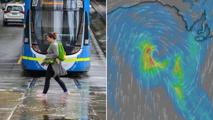
Large parts of Australia are set to endure an extended period of unsettled weather, with thunderstorms, showers and gusty winds expected to persist across multiple states well into the coming week. Forecasters say a drier atmosphere over the central outback, including around Alice Springs, could trigger strong downdrafts and gusty winds as storms develop.
At the same time, persistent onshore winds are continuing to push moisture onto the eastern seaboard, bringing widespread showers from Cape York Peninsula through Brisbane and Sydney, extending down to the New South Wales South Coast.
The stormy pattern is expected to continue across Queensland and parts of New South Wales on Sunday, with little sign of immediate relief.
Weather experts indicate that the cycle of showers and thunderstorms is likely to repeat throughout the opening days of the new week, keeping conditions unsettled across much of the east coast.
The prolonged stretch of stormy weather is considered unusual for spring, a season typically known for rapidly moving weather systems and significant day-to-day changes in conditions.
Instead of the usual variety associated with spring, many regions are experiencing a more repetitive and stagnant weather pattern.
Meteorologists attribute the unusual conditions to a high-pressure system that became stationary in the southern Tasman Sea on Friday.
The stalled system is effectively locking weather patterns in place, allowing moisture-laden onshore winds and storm activity to persist across eastern Australia while influencing conditions further inland.
The weather setup is more commonly associated with autumn than spring, resulting in an extended period of similar conditions across several states. Residents in affected areas are being advised to monitor local forecasts as thunderstorms, showers and strong wind gusts continue to impact communities over the coming days.









+ There are no comments
Add yours