Australians are being urged to brace for a sharp cold snap this week, with a powerful front expected to deliver snow, icy winds and the lowest temperatures of the year across NSW, the ACT, Victoria and Tasmania.
The Bureau of Meteorology says the system is pushing in from the Southern Ocean, dragging frigid southerly winds that will turn rain into snow across elevated regions. Meteorologist Jonathan How said the front will build rain over southern Victoria and Tasmania before ushering in “very icy” conditions from Thursday into Friday.
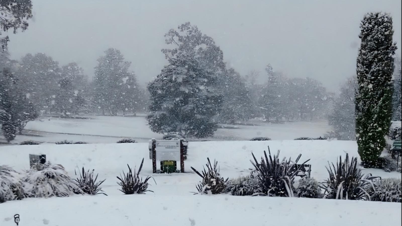
Showers will intensify across southeast NSW, and parts of Melbourne may even see hail as the cold air deepens. Snow levels are forecast to drop unusually low for early May down to 500m in Tasmania, 600m in Victoria and around 700-800m across NSW’s higher terrain. Even the Blue Mountains could see flakes above 800m.
While blizzard conditions aren’t expected, the BoM warns that snow, ice and sleet could make travel dangerous. Severe wind warnings are also in place for Tasmania, eastern Victoria and southeast NSW. Sheep graziers across multiple districts have been advised to take precautions as the cold outbreak intensifies.
With temperatures set to plunge, many cities are on track for their coldest day of 2026 so far a wintry jolt more typical of midwinter than early May.


+ There are no comments
Add yours