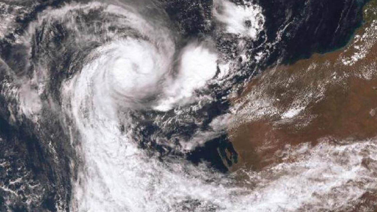
Two tropical lows off the northern coast of Western Australia are on the verge of merging, heightening the possibility of their transformation into a tropical cyclone as early as Sunday.
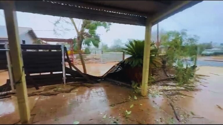
These systems have already unleashed heavy rainfall, thunderstorms, and flooding across parts of the Pilbara this week. The low nearest to the Kimberley region, designated 11U, is expected to absorb the adjacent system, 10U. Forecasters estimate a 55% chance of this combination intensifying into a tropical cyclone, with the likelihood rising to 70% by Monday and Tuesday.
Should this occur, the cyclone will be named Tropical Cyclone Sean. Forecasts indicate that TC Sean will track south towards Exmouth after its formation, although the chance of it crossing the coast remains low at this stage.
Residents along the coast from Karratha to Exmouth are advised to prepare their cyclone plans, as gale-force winds are expected to impact these areas starting Sunday. The Department of Fire and Emergency Services (DFES) is ramping up its planning efforts, assessing where additional resources may be necessary.
In a shift from previous protocols, DFES will no longer utilize the old Blue Alert, Yellow Alert, Red Alert, and All Clear warning system. Instead, alerts will now fall under three categories: Advice, Watch and Act, or Emergency Warning, mirroring the bushfire alert system.
Morgan Pumper from the Bureau of Meteorology highlighted that another trough is already moving into the region, bringing additional thunderstorms on Friday. “For areas like Gascoyne Junction, Paraburdoo, and Tom Price, we could see damaging wind thresholds reached,” he noted. “Coastal regions in the Pilbara may also experience thunder and lightning in the afternoon.”
As anticipation builds, residents are urged to stay vigilant and prepare for the storm’s potential impacts.


+ There are no comments
Add yours