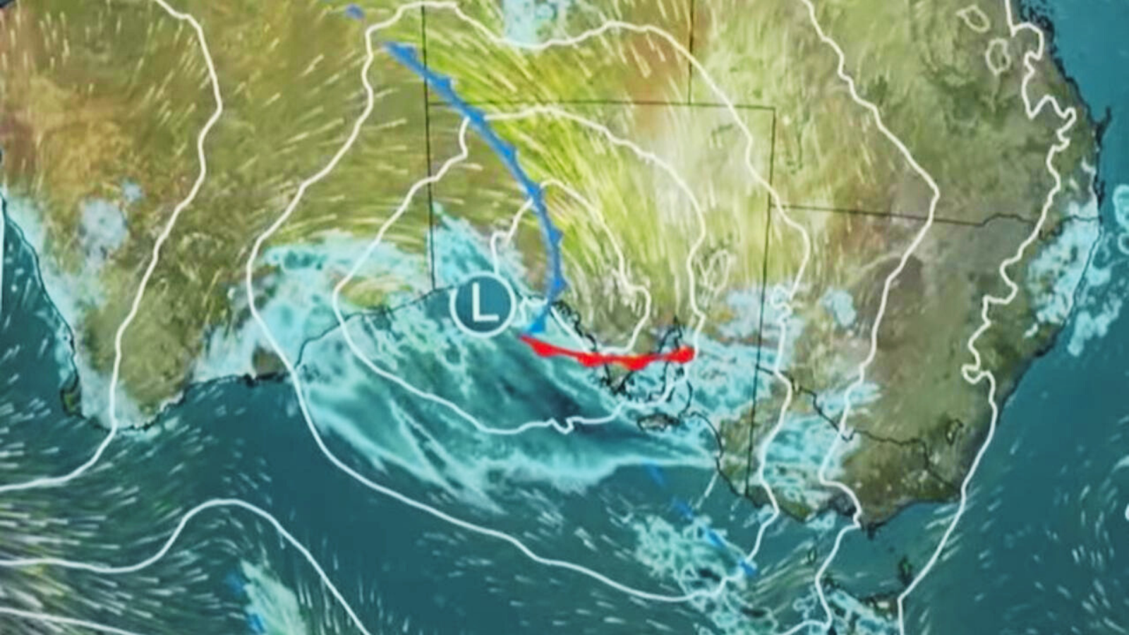
A severe weather warning for parts of the metropolitan area up to Jurien Bay has been cancelled. Authorities are still closely monitoring the Avon Descent as heavy rainfall east of Perth could push river levels higher during the Sunday white water event.
On Saturday the Bureau of Meteorology issued a severe weather warning for heavy rainfall with possible flooding across the Lower West, including Perth, southern parts of the Central West, and far western parts of the Central Wheatbelt. Areas north and east of Perth have already seen substantial falls, with Muchea recording 60mm in six hours to 3.15pm, and Werribee 55mm. Lancelin, north of Perth, recorded 44mm in three hours to 9.45am.
Forecaster Angeline Prasad said the recent rain did not severely affect the first day of the Avon Descent, but heavy falls could extend inland and raise river levels for the second day. “It is possible that we will see rises in the river over the next 24 hours with this type of rainfall,” she said.
“At this stage we’re not looking at issuing a flood watch, but it’s something we’ll keep in mind, especially if those heavier falls extend further inland,” she added. “At this stage, I’m expecting the heavier falls to stay along the coast, but it’s something that we’re watching very closely.”


+ There are no comments
Add yours