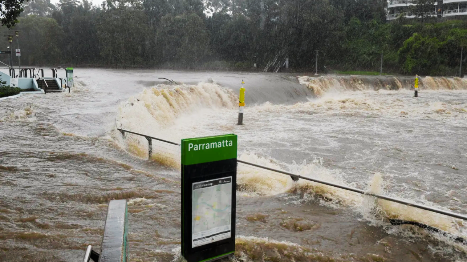
Rain-fatigued communities across New South Wales are being urged to prepare for yet another bout of wet weather, with a complex weather system sweeping in from today. The system is forecast to deliver heavy rain from Jervis Bay in the south to the Queensland border in the north.
The most intense downpours are expected on Thursday morning, with some locations potentially seeing up to 120 millimetres. While forecasters say pinpointing the exact path of the system remains difficult, the Mid North Coast, Northern Rivers, Northern Tablelands, North-West Slopes and Plains, parts of the Hunter, and sections of Greater Sydney are all on alert for minor to moderate flooding.
Many of these regions are already saturated from months of repeated rainfall, heightening the risk of rivers and creeks breaking their banks. Emergency services warn that flooding could begin as early as tonight, urging residents to stay informed, prepare their properties, and avoid unnecessary travel in affected areas.


+ There are no comments
Add yours