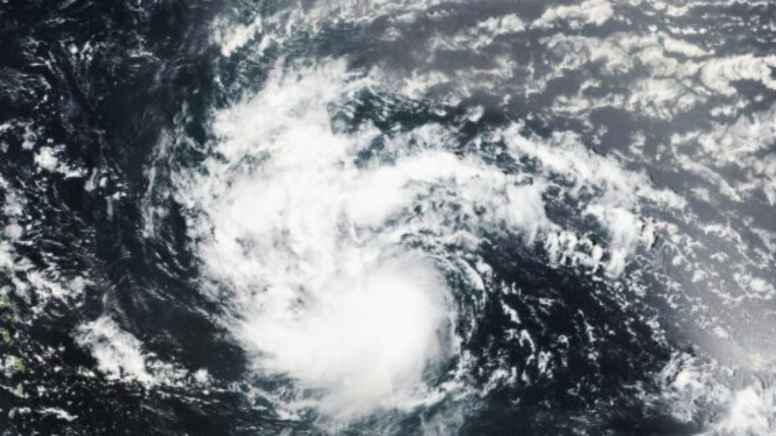
Hurricane Erin has rapidly intensified into a Category 5 storm, unleashing sustained winds of up to 160 miles per hour (260 kilometers per hour) as it churns over the Caribbean Sea. Within just one day, the system evolved from a tropical storm into one of the most powerful hurricanes of the season, raising alarms across island nations and coastal regions.
The storm is expected to pass near the northern edges of the Leeward Islands, Virgin Islands, and Puerto Rico over the weekend. Forecasts indicate rainfall could reach up to six inches, heightening the risk of flash floods and landslides in vulnerable areas. While Erin is not projected to make landfall on the U.S. mainland, its outer bands are likely to generate dangerous rip currents and high surf along the eastern coastline.
Coastal communities are already experiencing turbulent seas, and authorities are urging residents to avoid beaches and low-lying zones. The hurricane’s rapid growth has been described as explosive, with wind speeds jumping from 100 to 160 miles per hour in less than 24 hours.
As Erin continues its path northward, emergency services across the Caribbean are on high alert. The combination of intense wind, heavy rain, and unpredictable sea conditions makes this storm a serious threat to life and property.


+ There are no comments
Add yours